Pedalling along the EuroVelo 1 – Atlantic Coast Route is an experience that promises to be an everlasting memory for all those who decide to do it.
The Portuguese section of the EuroVelo 1 starts in Vila Real de Santo António, on the Avenida da República by the ferry boat access to Ayamonte in Sapin, to be more precise. From there, 288 kilometres lie within the bounds of the Algarve.
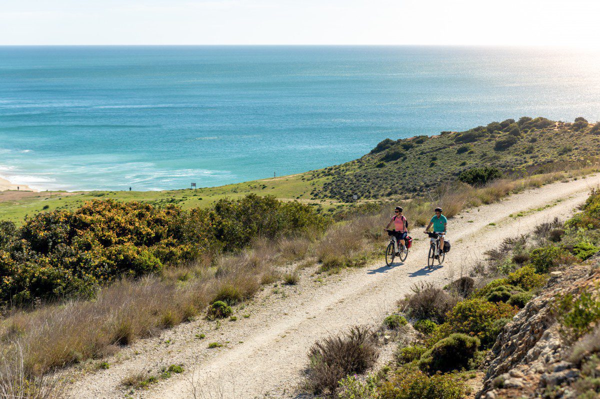
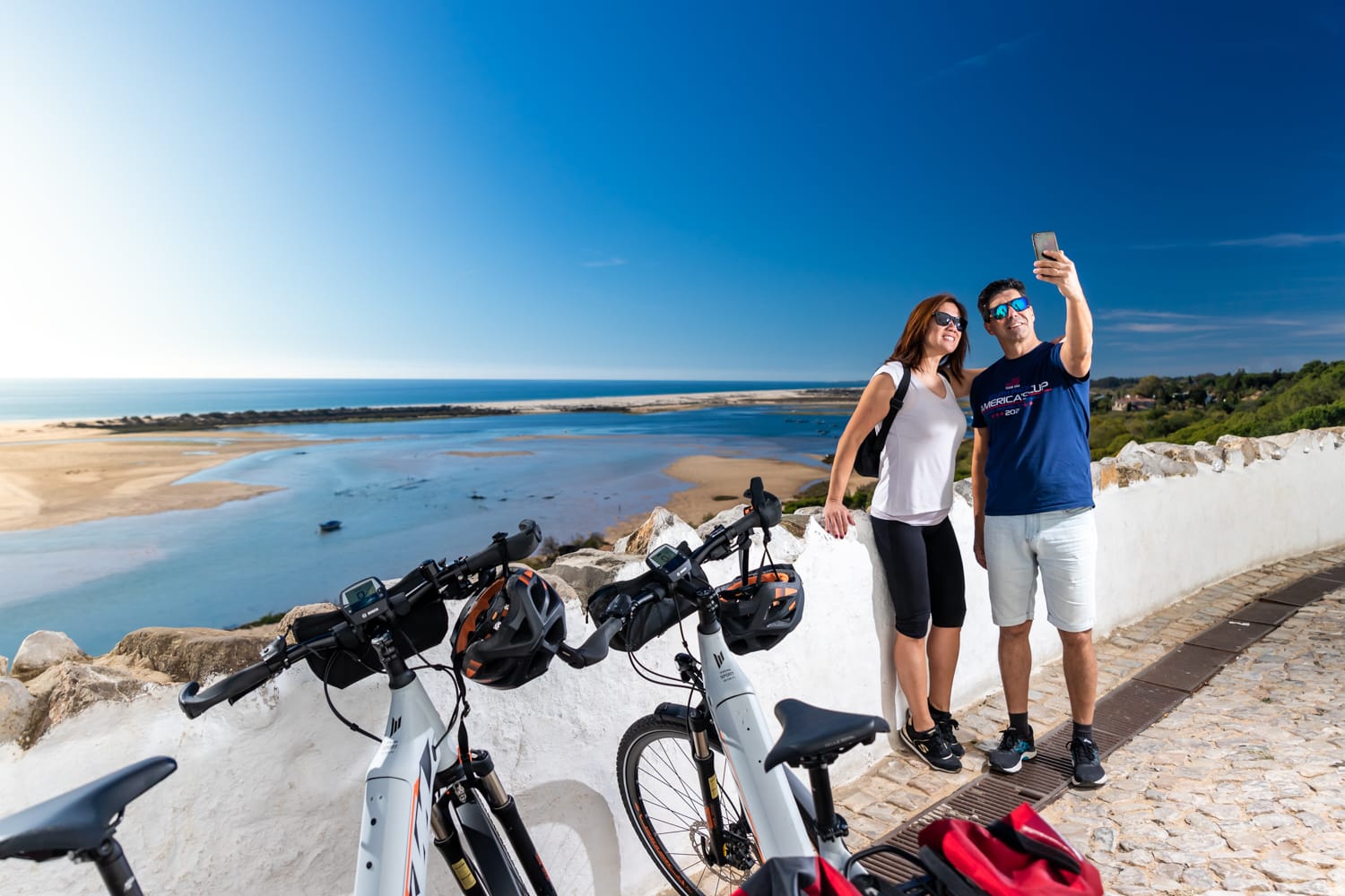
The route between Vila Real de Santo António and Sagres is also part of the Ecovia do Litoral, a cycle route that covers a distance of 214 kilometres and takes you through 12 municipalities along the Algarve’s southern coastline. The proximity to the coast and the stunning views over the region’s countless beaches, as well as the huge variety of historical monuments along the way, are just some of the attractions of this route created for cycling enthusiasts.
The Ecovia do Litoral mostly takes you along cycle routes, dirt tracks and paved roads with little motor vehicle traffic, as well as some sections of the busy EN125 road. The type of surface varies along the way, with some sectors being smooth and easy to ride on, while others require greater care and attention. Approaching the “Barlavento” (as the western Algarve is known), the terrain becomes rougher and the hills steeper, requiring cyclists to put in a bit more effort.
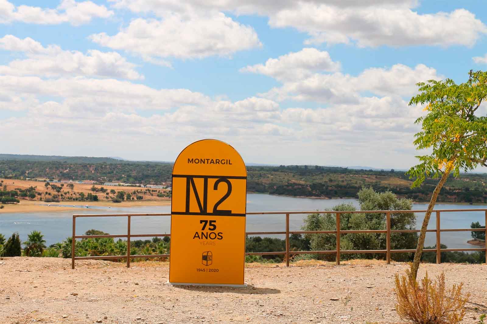
The section of the Atlantic Coast Route that coincides with the Ecovia do Litoral ends at Cabo de São Vicente (Cape St Vincent) in Sagres. The EuroVelo 1 then heads northwards through Aljezur until it crosses over from the Algarve into the Alentejo region at Odeceixe.
You can ride along this marvellous route booking our https://bikesultours.com/trip/eurovelo-1-bike-tour/

About the Algarve
A land without equal and replete with history, an ocean stretching for as far as the eye can see and uplands that shelter veritable treasures and unique people, the Algarve is located in southern Portugal, at the westernmost tip of continental Europe. It is bounded to the north by the Alentejo region, to the east by the River Guadiana, and to the south and west by the vastness of the Atlantic Ocean.
Covering an area of 4 996 km², which corresponds to approximately 5.5% of the territory of mainland Portugal, the southernmost continental region of the country comprises three distinct areas:
- The coast (known as the “litoral”)
- The uplands (known as the “serra”)
- The transitional area between the two – known as the “barrocal”
Stretching for 200 impressively diverse kilometres, the beauty of the Algarve’s coast is second to none. At one end, you have the Costa Vicentina (Vicentine Coast), which encompasses the municipalities of Aljezur and Vila do Bispo. This is the part of the Algarve with the most pristine beaches and steep craggy cliffs that bear witness to the untamed forces of the wild and unruly ocean.
At Cabo de São Vicente (Cape St Vincent), next to the town of Sagres, the coast begins to gradually curve and becomes less craggy. You start to see bigger beaches and small bays and, as you follow the coastline eastwards towards the “Sotavento”, where the Algarve borders Spain, the landscape begins to take on different contours. You will pass beaches lined with reddish cliffs, where there are sometimes thick pine groves, and the Ria de Alvor and Ria Formosa, two estuarine wetlands located inside protected areas.
And eventually, you come to the broad, sweeping sands of the beaches where the waters of the Atlantic begin to mingle with those of the Mediterranean.


THE “BARROCAL“
Turning inland, you will encounter the barrocal, the transitional area between the coast and the uplands. Here, you will typically find gentle gullies, where local farmers grow mostly almond, fig, carob, strawberry and citrus trees. And here too, you will find several places of considerable environmental, geological and scenic interest as the area of the Algarvensis.
As for the uplands, they occupy half of the Algarve’s territory. The region’s three mountain ranges – Serra de Monchique, Serra de Espinhaço de Cão and Serra do Caldeirão – shelter the beaches to the south from the winds that blow from the north. The highest point in the Algarve is Foia and at an altitude of 902 metres it is certainly one of the prime attractions in the Monchique area with unmissable panoramic views over the region. Dotted with whitewashed towns and villages, where ancient traditions still linger in the modern day, the Algarve uplands are a world awaiting discovery.
The Official guide of the EuroVelo 1 Route in the Algarve